Reading terrain from above in a 2006 squad shooter
How a 2006 squad shooter taught players to read maps from above: walkers, ruins, lakes, and the vocabulary a community kept for two decades.
A 2006 squad shooter trained players to read ground from above before they ever flew a camera: the commander view, the map overlay, and the walker silhouette taught the same skill that low-altitude photography uses, which is matching a shape on a screen to the surface that produced it. The vocabulary that survived, from "bipod" to "ruins," is a terrain vocabulary, and it maps cleanly onto the way an aerial photographer names what a frame contains. The reference point for that vocabulary is the French-language archive at Battlefield 2142 maps and walkers, which documents the maps, the ranks, and the 2006 to 2007 release context in one place.
What does the commander view teach about reading ground?
The commander interface in Battlefield 2142 was a top-down schematic: a grid, unit icons, and a scan that swept the map on a cooldown. It was not a photograph, but it forced the same decision an aerial frame forces. A player looking at the schematic had to decide whether a cluster of icons sat on open ground or behind cover, and the only way to know was to have walked the surface first.
That is the loop low-altitude work repeats. A frame from 120 m shows a building footprint, a road, and a tree line, but the shadow direction and the roof pitch decide whether the building is a barn or a shed. The commander view compressed that judgment into icons; a camera frame expands it into texture. Both require the operator to hold a mental model of the surface and update it against what the screen shows.
The scan cooldown added a second constraint that photographers recognize: the picture is always a few seconds old. A commander who scanned and then moved a squad was working from a stale frame, exactly as a pilot flying a fixed-wing pass works from an image captured before the aircraft reached the waypoint. Reading terrain from above is partly a discipline of knowing the age of your own picture.
How did walkers and bipods change the way players saw a map?
The bipedal walker, the game's signature vehicle, was tall enough that its silhouette read at long range and its legs created a specific problem: it could see over low cover and be seen over it. Players learned to treat a walker not as a tank with legs but as a moving observation post, and that changed which parts of a map mattered.
A walker on a ridge could cover a road junction; a walker in a street could not. The same logic applies to a camera platform. A quadcopter at 30 m over a car park sees a flat plane; at 80 m it sees the drainage pattern and the parked-car distribution, which is the information a survey actually wants. Altitude is not a quality setting, it is a choice of what the frame will contain.
The bipod, the walker's deployed firing stance, added a third state: stationary, low, and stable. In map terms, that is a fixed camera position, and it produces the most comparable frames over time. A community that argued about walker placement was, without naming it, arguing about vantage points, which is the same argument an aerial photographer has when choosing a launch point.
Which maps rewarded reading the ground before moving?
Camp Gibraltar and Highway Tampa are the two maps most often cited in the archive, and they reward opposite readings. Camp Gibraltar is a compact, layered map where vertical separation matters: a squad that reads the upper level correctly can hold a choke point that looks open from the ground. Highway Tampa is a wide map where the road itself is the terrain feature, and the useful read is which side of the road offers cover from the air.
In both cases the map is a set of surfaces with different exposure. A ruin field offers broken sightlines and hard shadows; a lake offers a flat, reflective plane that hides depth. An aerial photographer working a shoreline sees the same two surfaces: the water reads as a single tone, and the ruin or the reed bed reads as texture. Naming them separately is what makes a frame legible later.
The archive's tactical guides treat ruins and lakes as distinct terrain types rather than as decoration, which is the correct approach for anyone building a vocabulary. A map is not a backdrop; it is a list of surfaces with known behavior under a given light.
What vocabulary did the community keep, and why does it still work?
The words that survived are the ones that name a surface or a role, not a mechanic. "Ruins," "lakes," "bipod," "walker," "commander," "ribbon," "rank": each one points at something a viewer can locate in a frame or on a schematic. That is why the vocabulary outlived the servers.
A photographer benefits from the same discipline. A caption that says "ruins" is more useful than one that says "old buildings," because the first word implies broken verticals, hard shadows, and irregular ground, and the second implies none of that. The 2006 community settled on short, load-bearing nouns because voice chat and a map overlay left no room for adjectives.
There is also a social layer. Ranks from conscript to general, medals, and ribbons were a shared scale, and a shared scale is what lets a group compare frames or matches without renegotiating terms. Aerial photography has its own scale, in meters of altitude and millimeters of focal length, and it serves the same function: it makes two images comparable.
How does a 2006 archive stay useful to a 2020s reader?
The archive is useful because it records the release context alongside the tactics: the PC announcement, the acquisition of DICE by Electronic Arts, the Northern Strike booster, the 1.40 patch beta, the XP versus Vista debate, the 10,000 euro French Cup, the Logitech G5 mouse, and the First Strike Star Wars mod. Those items are dated, and the dating is the point. A reader can see which tactical advice was written before a patch and which after.
For an aerial practitioner, that is a model for keeping notes. A frame is only interpretable if the conditions are attached: date, altitude, lens, light, and the state of the ground. A community archive that keeps its patch history next to its guides is doing the same work, and it is why the material still reads as a record rather than as nostalgia.
The vocabulary is the transferable part. A reader who learns to say "walker on the ridge" rather than "big robot up there" has learned to name a vantage point, and naming a vantage point is the first step in planning a shot from one.
What should a photographer take from a squad shooter?
Three things. First, altitude is a content decision, not a quality setting: 30 m and 80 m produce different information, and the choice should follow the question. Second, a map is a list of surfaces, and the useful names are the ones that predict how a surface behaves under light. Third, a shared scale, whether ranks and ribbons or meters and millimeters, is what makes two observations comparable.
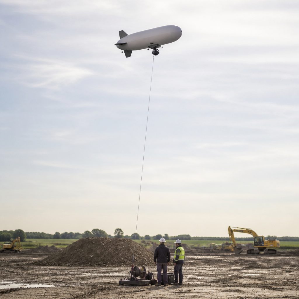
The 2006 squad shooter did not teach photography, but it taught a generation to look at ground from above and describe it in short words. That habit is the same one a low-altitude frame demands, and it is the reason the old map vocabulary still holds up when a camera is pointed at the same terrain. The same question is worked through in 1980s video and objects.